
The field of geophysics is experiencing a monumental shift as digital technology increasingly reshapes how scientists study and understand the Earth. With the advent of advanced data collection methods and powerful analytical tools, geophysicists can now capture and interpret geological features with unprecedented precision. In this article, we will explore the concept of digital transformation in geophysics, examining the innovative technologies that are driving this change and the implications for research, collaboration, and decision-making in the field.
The Digital Revolution in Geophysics
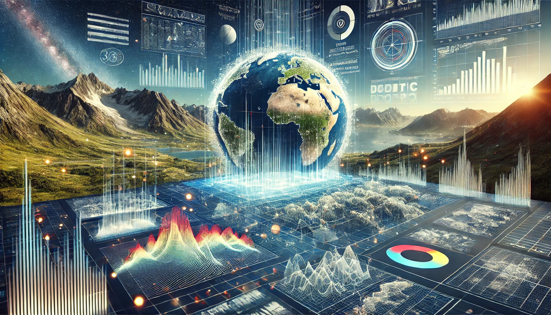
Geophysics, the study of the Earth’s physical properties and processes, has traditionally relied on direct measurement techniques and manual analysis. However, the integration of digital technologies has transformed the landscape of this scientific discipline. From enhanced data collection to sophisticated analytical algorithms, digital tools are revolutionizing how geophysicists gather, process, and interpret data.
Enhanced Data Collection Techniques
One of the most significant advancements in geophysics is the development of enhanced data collection techniques. Tools such as remote sensing and drone surveys allow scientists to capture vast amounts of geological information quickly and accurately.
Remote Sensing
Remote sensing involves the use of satellite or aerial imagery to gather data about the Earth’s surface without direct contact. This technology enables geophysicists to monitor geological features over large areas, providing insights into land use, vegetation, and topography. With remote sensing, researchers can identify changes in the environment, such as land subsidence, erosion, or natural disasters, enhancing their understanding of geophysical processes.
Drone Surveys
Drones have emerged as powerful tools for geophysical research. Equipped with various sensors, drones can perform aerial surveys to collect high-resolution images and data. They are particularly useful in hard-to-reach areas where traditional methods may be impractical. Drones facilitate rapid data collection and allow geophysicists to gather detailed information about geological formations, mineral deposits, and even archaeological sites.
Machine Learning: Accelerating Data Analysis
The sheer volume of data generated by modern geophysical techniques can be overwhelming. Here, machine learning algorithms come into play, significantly enhancing the efficiency of data analysis.
Pattern Recognition
Machine learning algorithms excel at identifying patterns within complex datasets that human analysts might overlook. By training models on historical data, geophysicists can improve their ability to predict geological phenomena and make data-driven decisions. For example, machine learning can be employed to analyze seismic data to identify potential earthquake zones or to predict the behavior of subsurface fluids in oil and gas exploration.
Predictive Modeling
With machine learning, geophysicists can create predictive models that simulate geological processes and forecast future events. These models can help assess risks associated with natural disasters, such as earthquakes or landslides, and enable researchers to develop mitigation strategies. By leveraging machine learning, geophysicists can enhance their understanding of complex geological systems and improve decision-making in resource management and environmental protection.
Cloud Computing: Enabling Global Collaboration
The advent of cloud computing has transformed how geophysicists collaborate and share data. With cloud-based platforms, researchers can seamlessly store, access, and analyze large datasets from anywhere in the world.
Seamless Data Sharing
Cloud computing allows geophysicists to share massive amounts of data without the constraints of physical storage. This capability is crucial in a field where collaboration often spans continents. By utilizing cloud technology, researchers can work together in real time, exchanging insights and findings as they emerge. This enhances the speed and efficiency of research projects, ultimately leading to more comprehensive results.
Enhanced Accessibility
With cloud computing, geophysical data becomes more accessible to a broader audience, including policymakers, industry stakeholders, and the public. This transparency fosters collaboration between scientists and decision-makers, leading to informed choices regarding resource management, environmental conservation, and disaster preparedness.
Virtual Reality: Immersive Learning and Visualization
Another exciting development in the digital transformation of geophysics is the integration of virtual reality (VR) technology. VR offers immersive environments for visualizing subsurface structures and simulating geological scenarios.
Immersive Visualization
VR technology allows geophysicists to create three-dimensional models of geological formations, enabling them to visualize complex subsurface structures intuitively. This visualization helps scientists and stakeholders grasp intricate concepts more effectively, facilitating better communication of findings and insights.
Training and Education
In addition to visualization, VR can enhance training and education in geophysics. Students and professionals can use virtual simulations to explore geological processes, conduct experiments, and develop practical skills in a safe, controlled environment. This hands-on approach fosters deeper understanding and engagement in geophysical concepts, preparing the next generation of geophysicists for the challenges they will face.
The Broader Implications of Digital Transformation in Geophysics
The digital transformation of geophysics is not merely about adopting new technologies; it fundamentally alters how research is conducted and how knowledge is disseminated. Here are some broader implications of this transformation:
Improved Accuracy and Precision
Digital technologies enhance the accuracy and precision of geophysical measurements. This improvement leads to more reliable data, which is crucial for making informed decisions regarding resource exploration, environmental management, and disaster response. The ability to gather high-quality data quickly and efficiently allows geophysicists to refine their models and predictions, ultimately benefiting society as a whole.
Interdisciplinary Collaboration
As geophysics becomes increasingly digital, collaboration across disciplines becomes essential. Geophysicists must work alongside data scientists, software engineers, and other specialists to harness the full potential of digital tools. This interdisciplinary approach fosters innovation and drives advancements in research, leading to new discoveries and applications.
Addressing Global Challenges
The integration of digital technologies in geophysics holds the potential to address some of the world’s most pressing challenges, including climate change, natural disasters, and resource scarcity. By leveraging advanced data collection and analysis techniques, geophysicists can contribute to understanding these challenges and developing effective solutions.
For example, digital technologies can aid in monitoring changes in glaciers and sea levels, helping researchers assess the impacts of climate change on coastal communities. Additionally, predictive modeling can enhance disaster preparedness by identifying vulnerable areas and informing evacuation plans.
The Future of Geophysics
As digital transformation continues to reshape the field of geophysics, the future holds exciting possibilities. Emerging technologies such as artificial intelligence, big data analytics, and the Internet of Things (IoT) will further enhance geophysical research and applications.
Artificial Intelligence
The integration of AI in geophysics will enable even more sophisticated data analysis and predictive modeling. AI algorithms can continuously learn from new data, improving their accuracy and reliability over time. This capability will empower geophysicists to make real-time decisions based on the latest information, enhancing their ability to respond to dynamic geological processes.
Big Data Analytics
The explosion of data generated by digital technologies necessitates advanced analytics tools capable of processing vast datasets. Big data analytics will allow geophysicists to uncover insights and trends hidden within large volumes of information, further advancing the understanding of geological processes.
Internet of Things (IoT)
The IoT will play a crucial role in the digital transformation of geophysics by enabling real-time data collection from remote sensors and devices. This connectivity will enhance monitoring and provide continuous feedback on geological changes, leading to more proactive decision-making.
Conclusion
Digital transformation is revolutionizing the field of geophysics, enabling researchers to collect, analyze, and interpret geological data with unprecedented accuracy and efficiency. Through enhanced data collection techniques, machine learning algorithms, cloud computing, and virtual reality, geophysicists can deepen their understanding of the Earth’s processes and address global challenges.
As we look to the future, the integration of emerging technologies will continue to drive innovation in geophysics, paving the way for new discoveries and applications. The digital revolution is not just a trend; it is a fundamental shift that will shape the future of geophysics and our understanding of the world around us. Embracing this transformation opens new doors for researchers and scientists, allowing them to explore the Earth’s mysteries like never before.